- Car, Tourist Bus
- +/-5416m
- Mar-May | Sep-Dec
- 1 - 12
- Trekking
- Hotel, Teahouse/Homestay
Overview
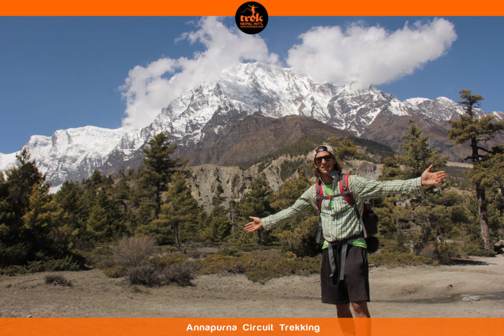
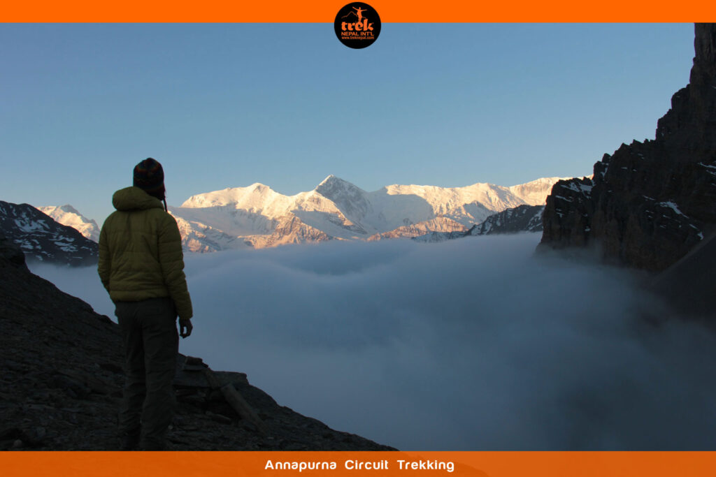
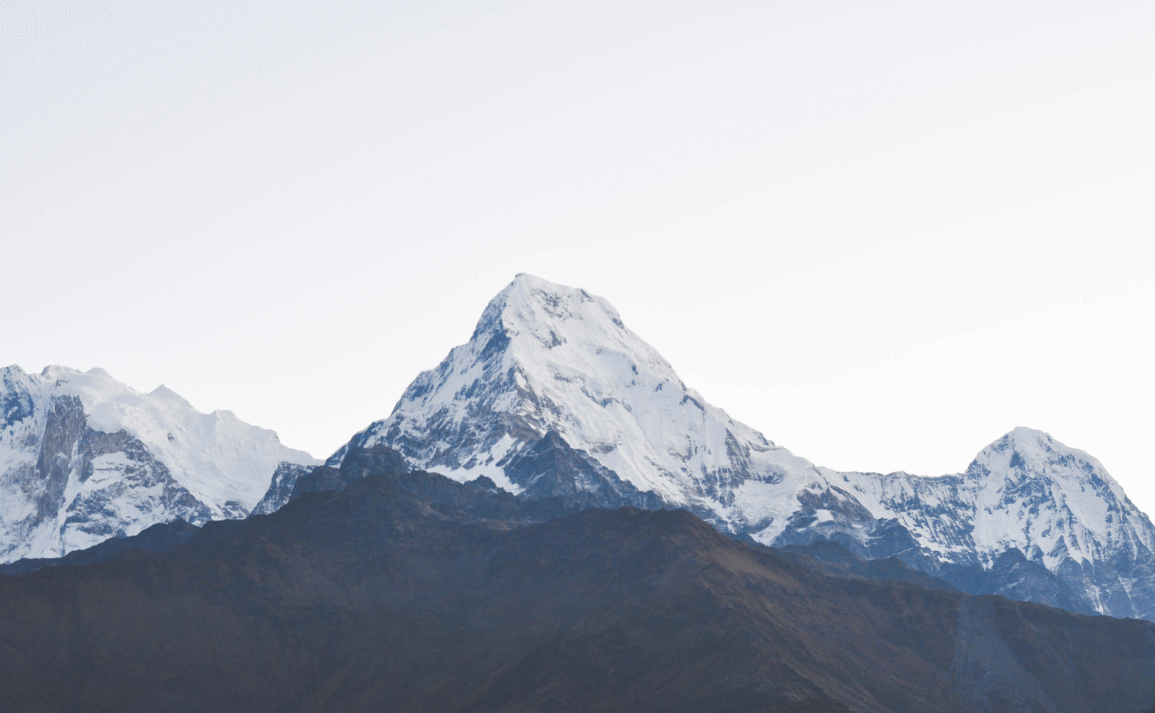
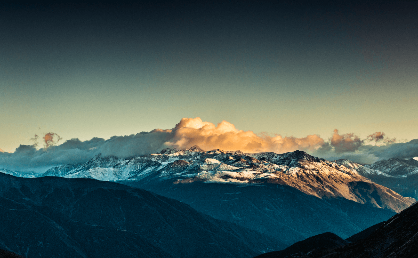
- Spectacular views of the numerous 7,000+m peaks of the complete Annapurna massif
- Crossing one of Nepal’s highest trekking passes, Thorung La Pass at 5,416m
- Soak up the main cultures of Nepal Hinduism and Buddhism, climbing through subtropical scenery to arid wilderness desert
- Spectacular aerial views of the Annapurna Range
Itinerary
At Tribhuvan International Airport at Kathmandu, you will be met by a Trek Nepal representative and drop you at your hotel. There will be a full tour briefing in the evening.
An early departure from the City of Glory, we drive west out of the Kathmandu Valley and along the Trisuli Valley towards the stunning mountain views of Langtang, Ganesh Himal, Annapurna, and Dhaulagiri Ranges. At the half way point, we change course and start to follow the Marsyangdi Khola (river) until Besisahar. The trek begins with a gentle walk following the Marsyangdi Khola, through several small villages until Bhulbule. The village lies on the banks of Marsyangdi Khola, in a large luscious green valley, which offers a distant view of mountains in the Manaslu range. It is here we enter the Annapurna Conservation Area and register for the first time at an ACAP (Annapurna Conservation Area Project) checkpoint.
The circuit’s trail today is an easy start as we cross the first of many suspension bridges shortly after Bhulbule, and then follow a flat path through rice fields. Do not be deceived; the circuit becomes more challenging, as the numerous ascents we encounter will prove. Continuing along Marsyangdi Khola’s east bank the trail ascends through a big green valley towards Bahundanda passing through the villages of Ngadi and Lampatta, and in the northeast there are spectacular views of Manaslu (8,163m). Bahundanda is situated on a small hilltop at 1,311m; the views as you look down the valley are lush green forests, villages, and rice fields. From here we descend for half an hour to a stream before commencing a series of gradual ascents and descents that bring us to Ghermu, a picturesque farming village that faces a beautiful tumbling waterfall known as Syange.
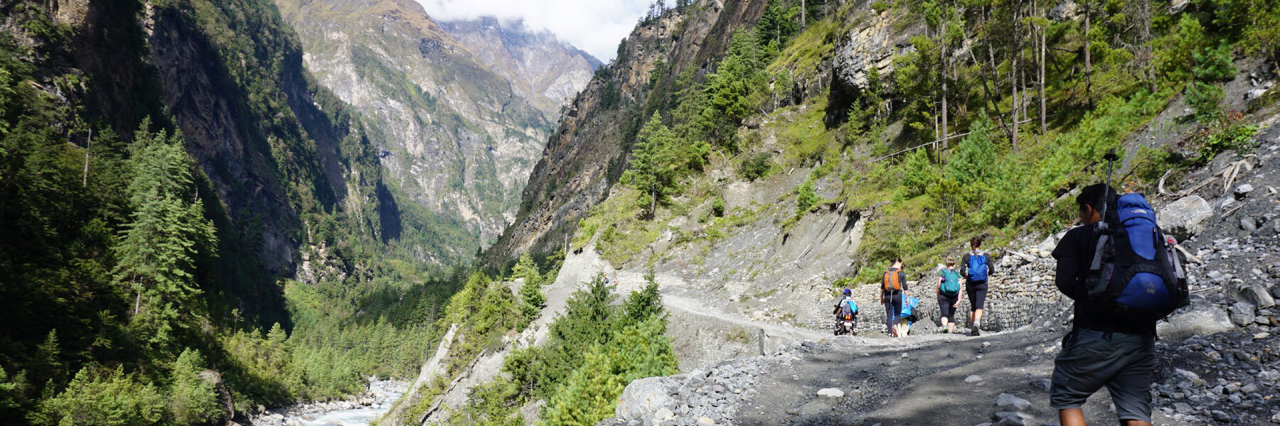
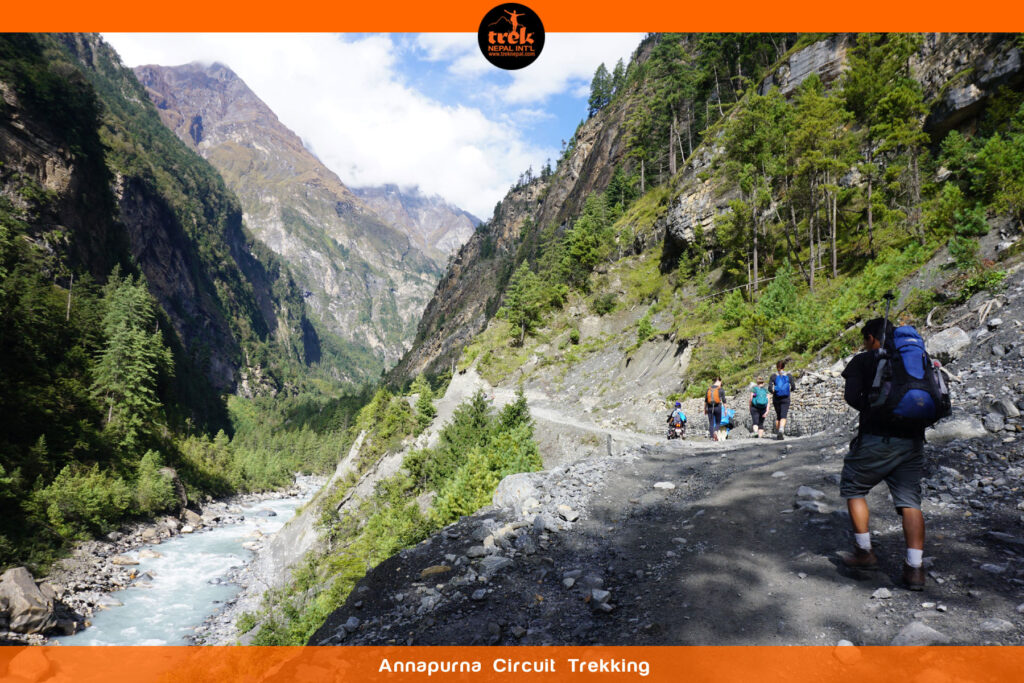
Coming away from Ghermu we descend down a rocky trail towards the Marsyangdi Khola. Crossing over to the river’s west bank we take a steep trail to the large ancient village of Jagat. Continuing along the trail high above the river we reach Chamje where we cross the river again, as our trail returns to the east bank. Climbing steeply through a forest the trail emerges into a wide flat area that is Tal. We have now reached the Manang district. Tal lies directly beside the river and during monsoon season experiences severe flooding in the lower-lying areas requiring the villagers to move to higher ground.
The trail from Tal starts with the crossing of the wide flat valley until we reach a bridge that leads to a trail that undulates gradually through bamboo woodland, where there are several interesting dwellings. Crossing the Marsyangdi Khola several times we continue through forest and woodland to Danakyu. En route we pass through a number of villages including Dharapani, known as the ‘stone gateway’ and Bagarchhap, home to a small monastery, which is only operational during festival celebrations, and we will likely encounter the distinctive bell sounds of a mule pack carrying heavy loads to the upper Annapurna regions.
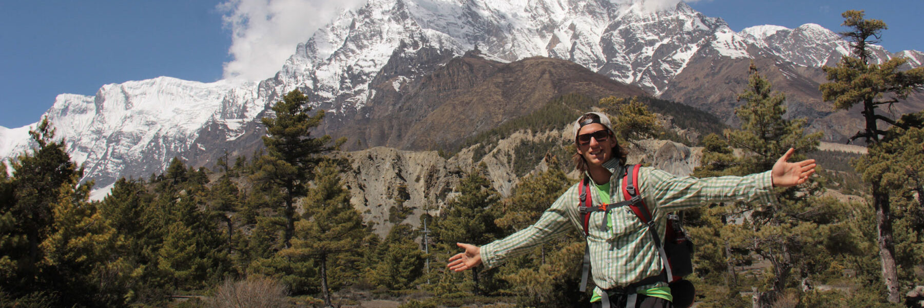
A narrow rocky trail takes us west as we gently climb through a winding pine forest. Snow-capped views come into view today; it is the closest we have come to the Himalayas in our journey so far. We will pass many apple orchards, as now we are at a good elevation for growing the delicious fruit, as well as numerous Mani stone walls with prayer wheels. At Kotho the trail becomes flat all the way to our next destination, Chame, Manang’s administrative headquarters – there is even a bank here! The village has a magnificent backdrop with distant views of Lamjung (6,983m), Annapurna II (7,937m) and Annapurna IV (7,525m).
Away from Chame, the scenery changes dramatically. To Bhrating the trail is relatively easy and similar to previous days as we travel through apple orchards. Thereafter, it follows a steep narrow valley through a dense forest. At Dhikur Pokhari there are splendid views of Pisang peak (6,091m) and Annapurna lV. Emerging from the forest immediately Paungda Danda imposingly appears for the first time, a 1,500m black rock that rises from the riverbed below, we cross the river for the final time today to reach Pisang. This fascinating village at 3,200m sits at the base of Annapurna ll and lV. The Tibetan-style flat roofs indicate we are now in the rain shadow of the Annapurna range. In the evening we will make our way to Upper Pisang to join the monks in evening prayers.
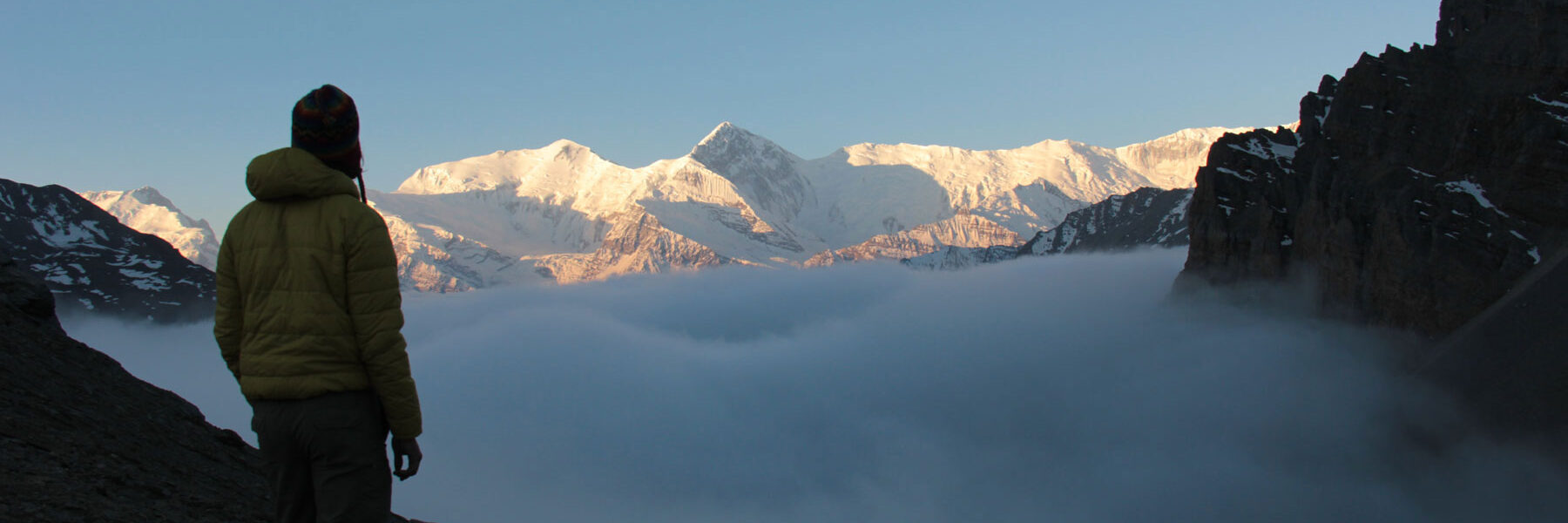
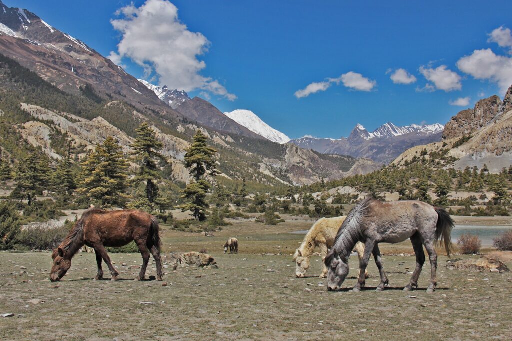
Today leads with a long but gentle ascent over a low pass with stunning views of the surrounding peaks. We descend into the valley below Pisang Peak to Humde, where there is an airport, a magnificent Mani stone wall, and spectacular views of Pisang Peak and Annapurna lll (7,555m). Continuing up the valley the wilderness steps in as we walk along wide and dusty trails to Manang. Our destination is a large Tibetan village, with numerous stupas and monasteries, surrounded by mountains, to the northeast are the four Chulu peaks (ranging between 6,038m and 6,854m)and Ganggapurna (7,454m)in the southwest, with Ganggapurna Lake immediately below. Sunset and sunrise over these great peaks are truly stunning creating one of the most beautiful dawn and dusk views in Nepal.
In preparation of crossing Thorung La pass today is an acclimatization day, which allows us to adjust to the higher altitude. You are free to explore Manang’s dry and fascinating area. There are many options: climb to Chhongar viewpoint to enjoy the views of the Annapurna and Chulu peaks, the route passes the glacier Ganggapurna Lake; visit the two monasteries, one of which is over 600 years old; or simply relax in a warm guesthouse whilst snacking on freshly baked cake and soak up the nearby snow capped scenery. It is important to take some rest today for the coming days.
Leaving behind Marsyangdi Valley our day begins with a steep uphill climb through alpine woodlands with juniper bushes for 1½ hours; the trail takes us to Tengi (3,620m) and Gunsang (3,930m). Thereafter, to reach Yak Kharka, it is an easy walk along gentle undulating dry trails supporting thinly scattered juniper shrubs, while in striking contrast there are magnificent views of Annapurna III and Ganggapurna. En route, we may encounter blue sheep but for definite there are herds of yaks. Close-up views of Tilicho Peak (7,134m) and Ganggapurna can be found by climbing up the brown grassy hill from the village.
The steep ascent out of Yak Kharka, on a wide trail, leads us to Ledar. Crossing the Kone Khola we continue to climb along its eastern bank. Shortly before Thorung Phedi, we traverse a scree slope before making our way into the village, which is situated at the foot of Thorung La. In the afternoon there is an optional hike to high camp where we will see a panoramic view of the surrounding Annapurna peaks including Chulu West (6,419m) and Yakwakang(6,482m).
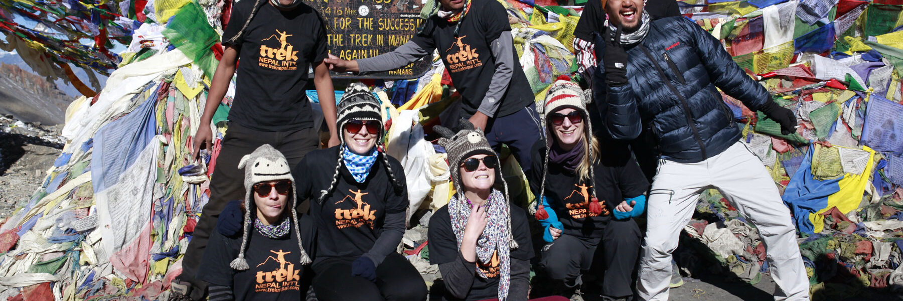
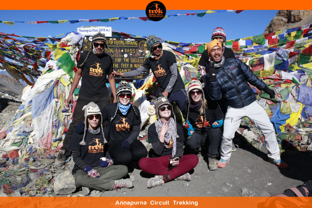
Today is the highlight of the trek, the day we have been working towards. It is a long and challenging day but immensely rewarding. Our morning begins in the dark, walking along thin trails that hug the snow mountains that have been climbed by local herders for centuries. As the sun starts to rise the white mountains surrounding us seem to be glowing. This amazing sight carries us up the steep ascent that can take around 4 hours. The gradient eases as we approach the summit but the altitude makes it challenging. Upon reaching the top we are greeted by fluttering prayer flags in abundance and rewarded with a stunning view of prestigious summits rising above 6,000m; to the west is the great Kali Gandaki Valley and to the north is the Yakwakang. The long descent towards Muktinath is gentle at the beginning becoming steeper the further we descend, as we near Muktinath the descent returns to a gentle gradient of grassy slopes. Before reaching Muktinath the Dhaulagiri range comes into sight with stunning views of Dhaulagiri (8,167m) the 7th highest mountain in the world and Nilgiri (6,940m).
Many Buddhist and Hindu pilgrims travel to Muktinath solely to visit the famous and sacred temple, which lies directly above the village.
This is our last day of walking and the easiest by far. The route takes us through a landscape of bare, eroded hills with snow-capped mountains in the background. An early start is made as strong winds whip up by mid-morning creating a ‘sand storm’ with the eroded grit. We follow the old trading route of the Mustang and Tibet caravan that passes above Kagbeni, a medieval village that lies next to the massive Kali Gandaki Khola, as we continue to Jomsom.
Today we drive through the Kali Gandaki Valley, a major trade route. This takes us through a number of picturesque villages and apple and orange orchards, with spectacular views of Dhaulagiri and Nilgiri. On reaching Tatopani, there is time to relax and soak in the hot springs.
We complete the circuit with a drive following the Kali Gandaki Khola to Beni. From Beni, we transfer vehicles for our return to Pokhara.
Your time is free to relax and enjoy the serenity of Pokhara.

Departures
Cost Details
Cost Includes
- All transfers to and from the airport accompanied by an English speaking representative
- Accommodation based on twin sharing as detailed in the itinerary. Twin rooms are provided for non-couples as well as couple
- Activities as shown in the itinerary, note this may vary from day to day
- Sterilized drinking water during trek
- All necessary transportation, whether private or public
- All trekking related permits and fees
- Experienced English speaking guide
- Assistant guides and porters to support the group size
- Trek Nepal T-shirt
- 13% VAT
Cost Excludes
- International airfare, airport taxes, visa fees, passport costs, insurance premiums of any kind and excess baggage charges
- Accommodation and Meals In Kathmandu and Pokhara
- Any Meals
- Personal Travel Insurance (cover your adventure activity as well as medical, emergency evacuation and personal belongings). It is imperative to be insured with suitable cover
- Personal clothing and footwear such as down jackets, waterproofs, hat, gloves, hiking boots
- Personal equipment, for example rucksack, day backpack, torch, water bottle, sleeping bag and mat
- Personal medical supplies and vaccinations
- Optional single accommodation supplement
- Personal expenses such as phone bills, room service charges, porterage, bar bills (meals exclude bottle and alcohol drinks), tips to guides, porters and drivers, laundry
- Expenses incurred during emergency evacuation due to any reason
- Optional tours, excursions and activities
- Any item not detailed in the “What Is Included”
FAQs
Map
Enquiry Form
Reviews
-
 An Epic Himalayan Adventure!By Sarah Johnsonfrom United StatesAugust 3, 2023I just returned from the Everest Base Camp trek, and WOW! It was absolutely breathtaking. The stunning Himalayan vistas, warm Sherpa hospitality, and the sense of accomplishment made it an unforgettable journey. Highly recommended!
 Date of Experience: August 03, 2023
Submit Review
Leave a Reply Cancel reply
Thank you. Your review will appear after admin approves it.
Please fill all the fields.
- Best Price Guarenteed
- Professional Local Guide
- No Booking Fees
Need help with booking? Ask us.
- Best Price Guaranteed - ( You can add information like this to further explain value that you provide to your travel clients. )
- No Booking Fees - ( You can add information like this to further explain value that you provide to your travel clients. )
- Professional Local Guide
Need help with booking? Ask us.


